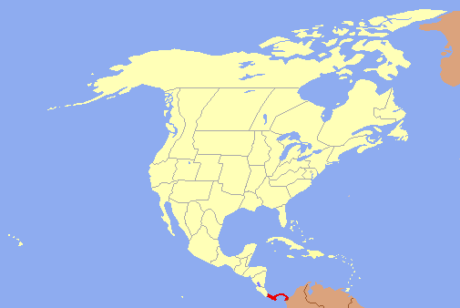
Panama officially the Republic of Panama (Spanish: República de Panamá), is a country in Central America, ordered by Costa Rica to the west, Colombia to the southeast, the Caribbean Sea to the north and the Pacific Ocean to the south. The capital and largest city is Panama City, whose metropolitan area is home to nearly half the country's four million people.
Panama was inhabited by indigenous tribes before Spanish colonists arrived in the 16th century. It broke away from Spain in 1821 and joined the Republic of Gran Colombia, a union of Nueva Granada, Ecuador, and Venezuela. After Gran Colombia dissolved in 1831, Panama and Nueva Granada eventually became the Republic of Colombia. With the backing of the United States, Panama seceded from Colombia in 1903, allowing the construction of the Panama Canal to be completed by the US Army Corps of Engineers between 1904 and 1914. The 1977 Torrijos–Carter Treaties led to the transfer of the Canal from the United States to Panama on December 31, 1999.
In 2007, construction began on a third network of locks, initially funded entirely by the Panamanian government, but in 2010 the US Congress passed the Canal Zone Expansion Resolution, which authorized ten billion dollars in loans to fully finance the construction of the third set of locks, and to develop Panamanian business centers. The expansion project was completed in 2014 and ties with the United States have deepened as a result.